Share Project Details
Tell us about your project requirements, goals, and expectations.

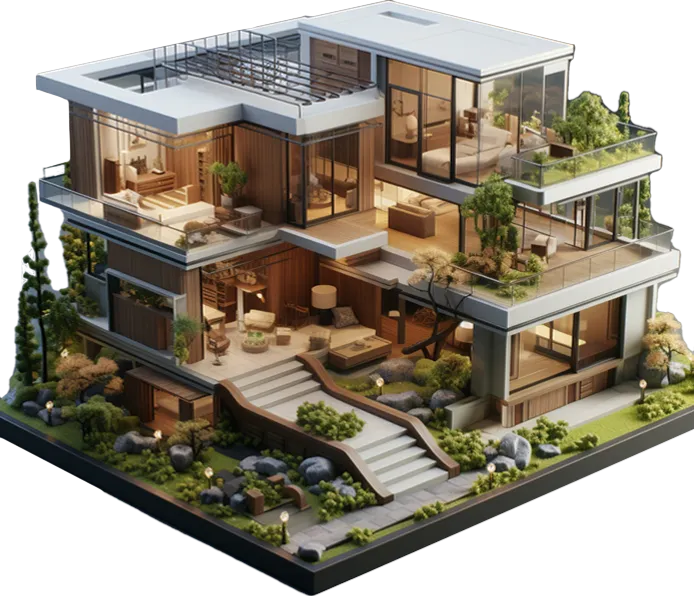
Show your project from above with photoreal aerial views that reveal scale, site context, landscape, access, surroundings, and development potential before anything is built.
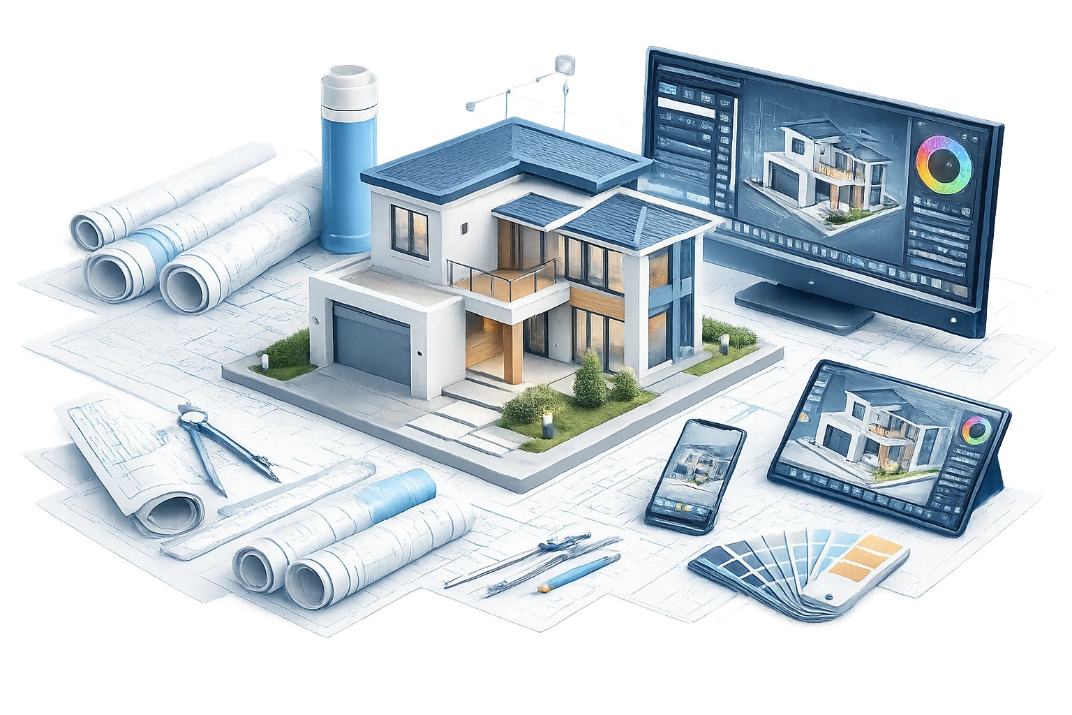
Send us your sketches, PDFs, CAD files, Revit, or SketchUp
models and we’ll map the best visualization approach for
your project.
We help you see the space before building. You get
clearer decisions, smoother approvals, and stronger marketing.


Every project looks different from above. At Pyctom, our services are built to show more than a beautiful top view. We help architects, developers, builders, and real estate teams present the full design story from a clear, elevated perspective.
Still aerial renderings give your project a polished, high-impact view from above. These visuals are ideal when you need one strong image that explains the full site at a glance.
Oblique aerial perspectives use a lower elevated camera angle, usually between a direct aerial view and a standard exterior view.
Lighting changes how a project feels. A daytime aerial render can make a development look clean, active, bright, and easy to understand.
Drone photomontages are especially valuable for developers, architects, planning consultants, real estate teams, and investors who need to show how a project fits into its actual surroundings.
Flyover animations turn your aerial view into a guided visual journey. Instead of showing one still image, we move the camera above and around the project to reveal the full site experience.
Phasing animations show how a project develops over time. They can illustrate the journey from site preparation and groundwork to structural development, landscaping, final build-out, and full completion.
At Pyctom, we follow a structured process so every aerial view feels realistic, useful, and aligned with your project goals.
We begin by understanding your project, its purpose, and where the final visuals will be used. A render for investor presentation may need a different mood than a render for planning review, real estate marketing, or a website hero section.
During this stage, we discuss the key visual details, including building form, façade materials, site surroundings, landscape style, access roads, parking, lighting mood, camera height, and preferred atmosphere.
We also ask about the main message of the image.
Should it show the full site layout?
Highlight a future community?
Present a commercial development from a premium angle?
Or place the project into its real environment?
This helps us create aerial renderings that are not only attractive but also useful for decision-making, approvals, marketing, and sales.
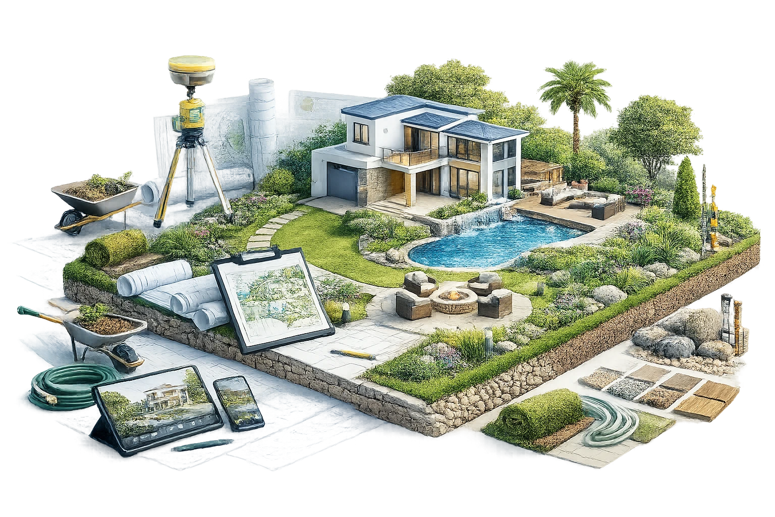
Once the direction is clear, we review the files and references needed to build the aerial scene properly. The more accurate the input, the stronger and more realistic the final visual can be.
You can share CAD files, site plans, architectural drawings, blueprints, Revit files, SketchUp models, landscape plans, material references, drone photos, Google map references, or mood images.
For larger developments, topography files and surrounding site information are especially helpful because they allow us to understand land levels, roads, open spaces, nearby buildings, and natural features.
If you do not have every file ready, that is fine. We can still guide you on what is most important and what can be developed through references.
After reviewing the project files, our team starts building the 3D model and full aerial scene.
This includes the main building or development, surrounding land, roads, parking areas, pathways, landscape zones, trees, neighbouring context, and any key site features that need to appear in the view.
At this stage, accuracy matters. Aerial rendering is not only about showing a building from above. It is about showing how the full site works together.
We pay attention to proportion, massing, rooflines, access points, circulation, landscape balance, and the relationship between built and open spaces.
Before moving into full colour and final textures, we prepare a clay render or preview render. This is a simplified white or neutral material version of the scene.
It allows you to review the camera angle, framing, building position, site composition, and overall visual balance without the distraction of colours and finishes.
This step is important because the camera angle can completely change how the project is understood. A higher bird’s-eye view may be best for showing layout and land use. A lower oblique aerial angle may be better for showing the architecture, scale, and arrival experience.
You can review the preview and share feedback before the next step!
After the clay render is approved, we create the first colour draft. This version includes materials, lighting, textures, landscape, roads, sky, shadows, and atmosphere at a review resolution. This is where the visual starts to come alive. We refine everything. If the project needs a daytime, dusk, sunset, or seasonal version, we adjust the lighting direction and atmosphere accordingly. You can review the colour draft and request changes. This may include material updates, landscape adjustments, lighting changes, camera refinements, surrounding context edits, or any detail that needs to better match the design intent.
Once all feedback is applied and the render is approved, we prepare the final high-resolution aerial visualization. The final image is polished for professional use across presentations, websites, brochures, investor decks, planning discussions, sales campaigns, signage, and digital marketing materials. Whether you need one strong still aerial image, an oblique aerial perspective, a drone-based photomontage, or a full flyover animation, our process keeps the project clear from start to finish.
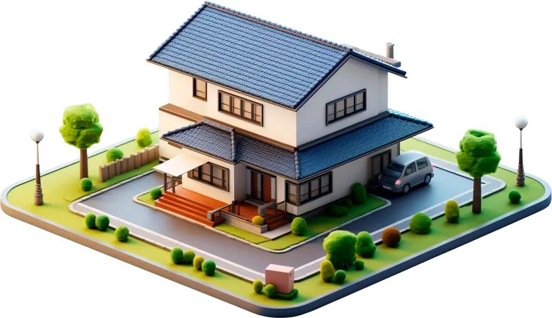
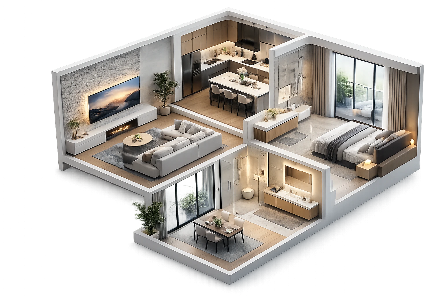
At Pyctom Labs, we do more than create attractive visuals. We build residential renderings that help architects, builders, developers, and homeowners explain ideas clearly, refine designs faster, and present projects with confidence.

We specialize in home-focused visualization, which means every render is built to highlight the details that matter most in residential projects, from façade character and curb appeal to interior atmosphere and material balance.
Our renderings make it easier for clients, stakeholders, and teams to understand a design without needing to interpret technical drawings alone. That clarity leads to better conver- sations, faster feedback, and more confident next steps.

We focus on lighting, textures, finishes, and composition that make a project feel grounded & convincing. The result is a visual that helps people connect with the design instead of just looking at it.

Your assets are created to work beyond a single meeting. Use them across proposals, pitch decks, websites, brochures, pre-sale campaigns, investor presentations, and social content without needing to start over.

We work closely with your plans, references, and feedback to keep the final render aligned with your design intent. Every revision is handled with the goal of improving clarity, not adding confusion.

As a Canada-based company, Pyctom Labs offers responsive communication and a practical understanding of the expectations local builders, designers, and developers bring to residential presentation work.
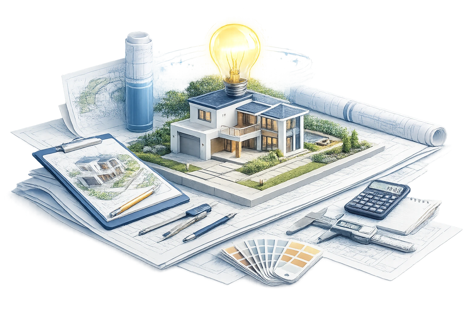
The Tools Behind Our 3D Rendering Process
Turn Your Plans Into Photoreal Visuals Today. Don’t let your ideas stay stuck in drawings. Whether you’re working on a custom home, renovation, or residential development, we help you visualize every detail before construction begins.
3D aerial view rendering is a high-angle visual that shows a building, site, or development from above. It helps people understand layout, scale, roads, landscape, and surrounding context.
Aerial rendering is useful for architects, developers, builders, real estate teams, planners, landscape designers, and marketing teams presenting large or site-based projects.
We can work with CAD files, site plans, architectural drawings, Revit files, SketchUp models, drone photos, maps, landscape plans, and reference images.
Yes. If you only have sketches or early concepts, we can help turn them into a clear 3D aerial visual using your available information and references.
Exterior rendering usually shows a building from ground level. Aerial rendering shows the project from above, making it better for site layout, surroundings, access, and scale.
Yes. We can blend your 3D project model into real drone photography to show how the future development will look in its actual location.
Yes. Aerial renders are great for websites, brochures, sales decks, hoarding, investor presentations, pre-construction campaigns, and property launch visuals.
Yes. We can create daytime, sunset, dusk, seasonal, or custom mood views depending on how you want the project to feel.
Yes. We can create flyover animations and phasing animations to show the project in motion, explain development stages, or present the full site experience.
Send us your project files, drawings, references, or even a rough idea. We’ll review the details and suggest the best aerial rendering approach for your project.